MOORESVILLE, N.C. — The Mooresville Police Department has launched its Drone First Responder program to provide faster aerial coverage during emergency calls. This program launched in November 2025.
“This new technology positions MPD to respond more effectively to high-risk situations, locate missing persons and fleeing suspects and assist investigators with traffic and crime scene documentation,” said Chief Ron Campurciani, MPD.
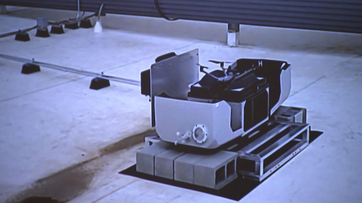
The program uses six drones stationed at two different locations to support officers before they arrive on a scene. The department integrated the technology with its dispatch system to improve response effectiveness and public safety through real-time situational awareness.
Three drones are stationed at Mooresville Police Department Headquarters and three are located at One Mooresville Center.
These aircraft can respond to incidents within a 3.5-mile radius at speeds reaching 55 mph.
A trained operator based at the department headquarters launches and pilots the drones when the nature of a 911 call warrants a response.
“The call comes in, dispatch just hits a button,” Campurciani said. “It automatically launches, and it goes by the GPS coordinates, will fly right to wherever that is. All the patrol officers that are responding can pull it up on their smartphones, and they can see what they’re driving into, so they can see what the drone sees.”
The pilot maintains communication with officers who are on the scene or enroute to deliver real-time situational awareness.
“A couple weeks ago, when a lady kind of drove off, this elderly woman drove off and we found her, were able to get to her and locate her, pinpoint her through the drone,” Campurciani said.
The program integrates with the department’s Computer-Aided Dispatch system, known as CAD.
This system manages 911 calls and coordinates response efforts using GPS coordinates to pinpoint destinations.
While the drones use radar to detect and avoid other aircraft for safety, the technology does not rely on radar for navigation.
To promote community transparency, the department established the Mooresville Flight Dashboard. This publicly available portal automatically tracks and logs drone activity.
“The system, itself, now, it’s ready to go,” Campurciani said. “And as we get more and more people in, we’ll take advantage of it more and more.”
The dashboard displays up-to-the-minute data on the number of calls, average response times and types of calls, including visual flight plans that track each drone’s path.
VIDEO: Iredell County deputies use drones, K-9 units to search for missing teen

©2026 Cox Media Group
/cloudfront-us-east-1.images.arcpublishing.com/cmg/LH3JSJEF3VBLRJLJQESEAG34AM.png)


